Harness Precise Geolocation Technology for 5x Faster Ag Data Delivery
From pre-flight preparation to image capture in the air and post-processing, the Sentera Direct Georeferencing (DGR) System boosts efficiency and cuts total project time by almost 90%. This helps agricultural professionals gather more data in less time, enabling them to focus on data validation and achieving results.
How It Works
Prepare for Takeoff
Rather than setting up ground control points, easily connect the DGR system to the DJI M300 drone to prepare for flight. With just a few steps, you’ll add tactical-grade inertial measurements (IMU) and dual RTK GPS functionality.
Capture and Collect Data
With 50% less image overlap needed, you’ll take 9x fewer images for analysis, leading to faster flights—reducing flight time from 45 minutes to under 20.
View and Analyze Key Data
With 5x faster data delivery, you’ll spend more time analyzing data and measurements, allowing for quicker, more precise decision-making.
Upload Data for Post-Processing
The Sentera DGR ensures absolute geolocation accuracy, producing spatially precise maps directly at the field’s edge, eliminating the need for stitching to create an orthomosaic.
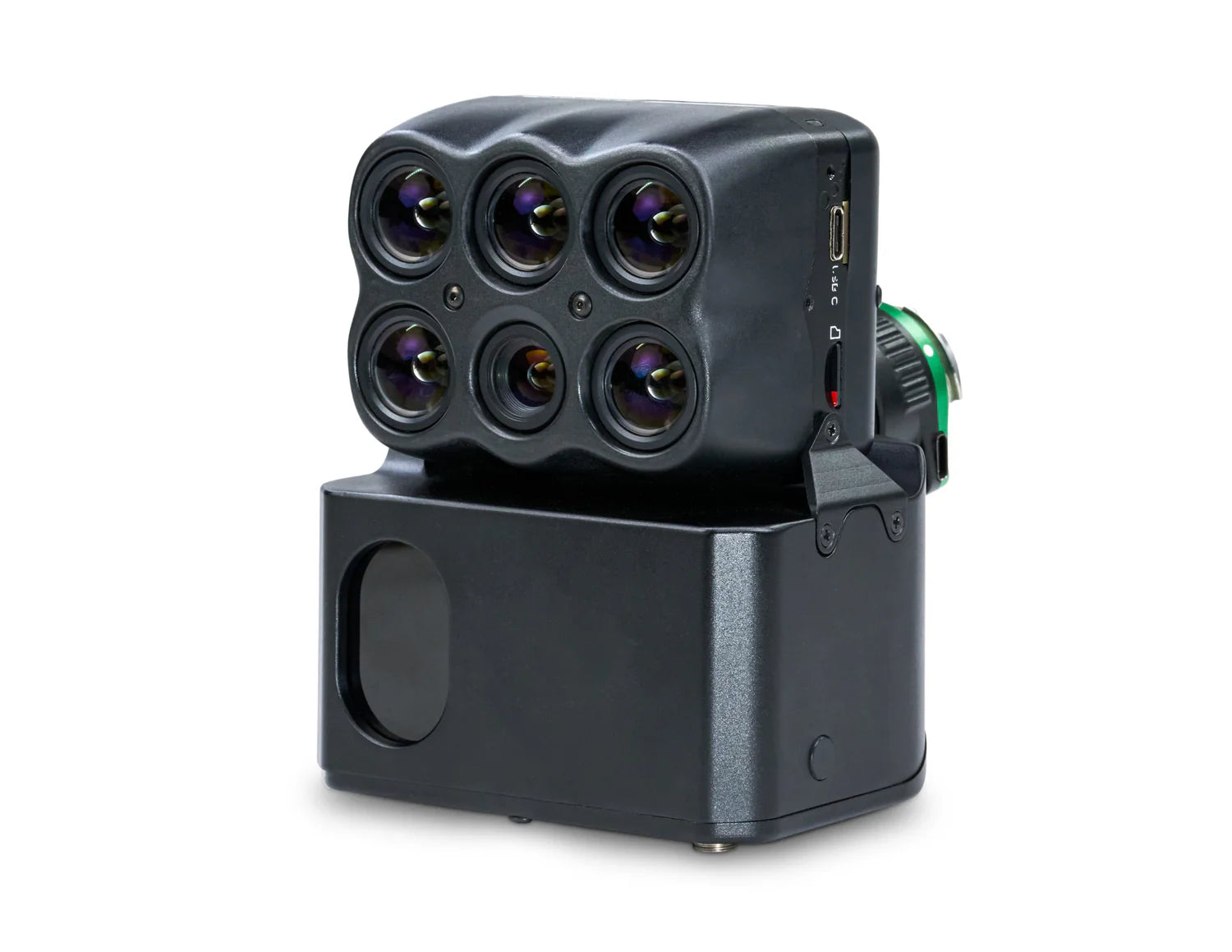
Paired with 6X Sensors—Science-Grade Multispectral Imagery
Sentera’s 6X Multispectral and 6X Thermal sensors provide fast frame rate performance and high radiometric accuracy, delivering advanced imagery with eight channels of data for a more comprehensive view.
More Advanced Imaging with Radiometric Accuracy
When paired with radiometric calibration tools like Sentera’s calibrated reflectance panel and light sensor, you can account for lighting variations, ensuring accurate and reliable imagery every time.