How It Works
Prepare for Takeoff
Instead of setting up ground control points, get ready for your flight by quickly connecting the DGR system to the DJI M300 drone. In just a few simple steps, you’ll integrate tactical-grade inertial measurements (IMU) and dual RTK GPS functionality.
Fly and Collect Data
With 50% less image overlap required, you’ll capture 9x fewer images for analysis. This results in faster flights—cutting down flight time from 45 minutes to under 20.
View and Analyze Key Data
Thanks to 5x faster data delivery, you can focus more on analyzing the collected data and measurements, enabling quicker and more accurate decision-making.
Upload Data for Post-Processing
The Sentera DGR ensures absolute location accuracy, providing spatially precise maps right at the field’s edge, eliminating the need for stitching to create orthomosaics.
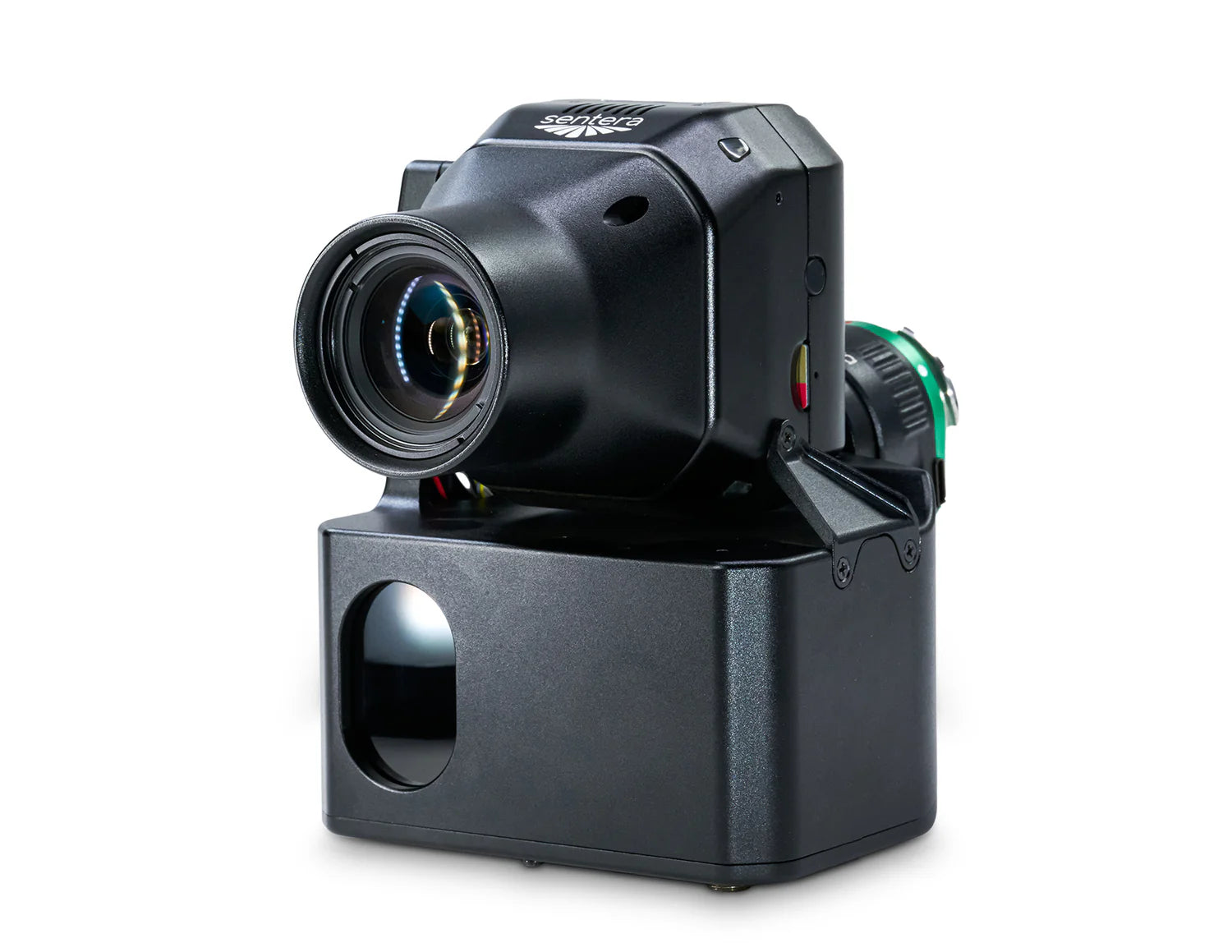
Paired with the 65R Sensor: Ultra-High-Resolution Aerial Imagery
The Sentera 65R is the first ultra-high-resolution precision sensor specifically designed for seamless integration with drone systems, including RTK systems.
More Pixels, Captured Faster
With a ground sampling distance of 0.45 0.45cm/pixel, the Sentera 65R enhances efficiency and reduces errors by capturing more pixels per image. This allows you to cover more ground significantly faster than any other camera available.