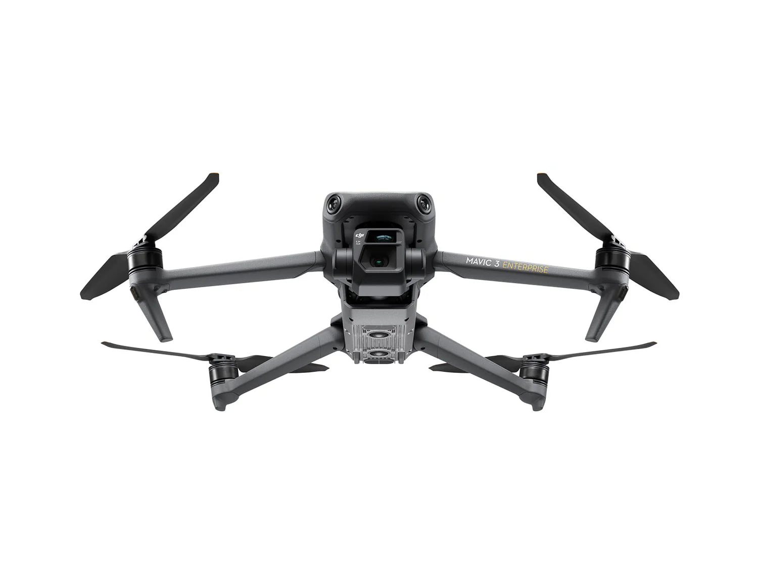
DJI Mavic 3 Enterprise Series
A Versatile Commercial Drone for Everyday Use
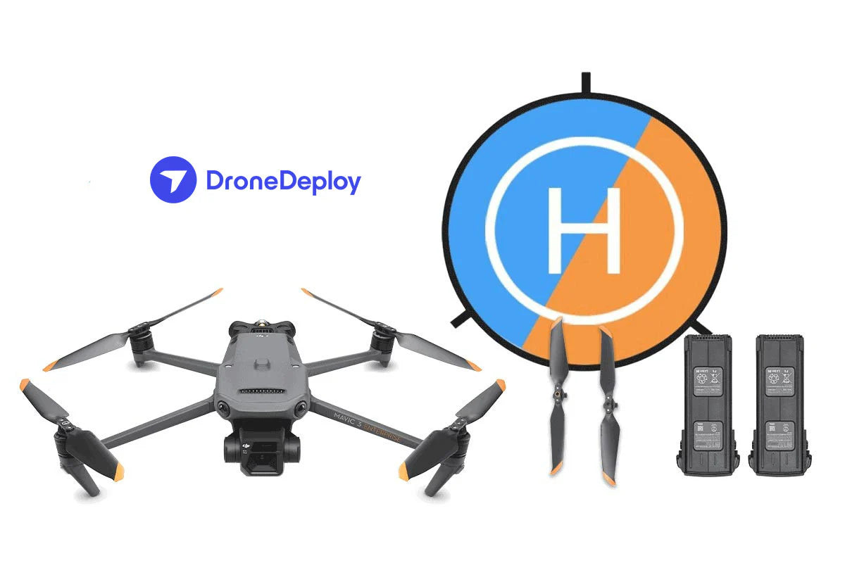
The Mavic 3 Enterprise Series sets a new benchmark for small commercial drones, offering advanced capabilities for mapping, inspections, and mission-based operations. Featuring a mechanical shutter, 56× zoom camera, and an RTK module for centimeter-level accuracy, the Mavic 3E enhances efficiency in data collection. A thermal variant (Mavic 3T) is also available, making it ideal for firefighting, search and rescue, infrastructure inspections, and nighttime operations.
Enhanced Thermal Imaging with the Mavic 3T
For users requiring temperature-based analysis, the Mavic 3T is equipped with a thermal sensor, enabling detailed heat mapping and temperature readings for various projects. DroneDeploy’s platform fully supports the Mavic 3T, providing radiometric processing and intelligent thermal mapping capabilities for in-depth data analysis.
Create Radiometric Maps with DroneDeploy
The Mavic 3T, combined with DroneDeploy’s processing tools, allows for the generation of high-quality radiometric maps. This feature is invaluable for identifying hidden defects in roofs, solar panels, and other structures that may not be visible to the naked eye. DroneDeploy’s inspection workflow also enables users to generate detailed defect reports, streamlining maintenance and repair planning.
The DJI Mavic 3 Enterprise Series is a powerful, adaptable solution designed to meet the demands of professional drone pilots, ensuring precision, efficiency, and intelligent data processing for a wide range of industries.
Superior Operational Performance
Long-Lasting Battery Life for Extended Missions
With a maximum flight time of 45 minutes, the drone covers up to 2 square kilometers in a single flight, making it highly efficient for surveying and mapping tasks.
Advanced Image Transmission for Reliable Connectivity
The O3 Enterprise Transmission system, equipped with a quad-antenna design, ensures a stable and uninterrupted connection, even in challenging environments.
Omnidirectional Sensing for Safer Flights
The drone features wide-angle sensors on all sides, providing 360° obstacle detection with no blind spots. Users can customize proximity alerts and braking distances based on mission needs.
-
Smart Return-to-Home (RTH): The system automatically calculates the most efficient return path, conserving battery life and reducing flight time.
-
APAS 5.0 (Advanced Pilot Assistance System): Enables automatic obstacle avoidance, ensuring smooth navigation and enhanced flight safety.
These features make the drone a highly efficient, safe, and intelligent solution for professionals in the surveying, inspection, and mapping industries.