The precision and portability of the DJI Mavic 3 Enterprise Series RTK Module combine to provide survey-grade accuracy in the palm of your hand.
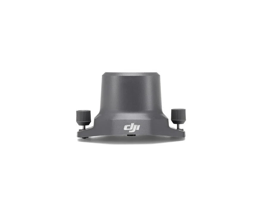
With the DJI Mavic 3 Enterprise RTK Module, you can achieve centimeter-level positioning and significantly increase the precision of your drone mapping operations. This small, plug-and-play module, made especially for the Mavic 3E and Mavic 3T, allows real-time kinematic (RTK) positioning, which is crucial for extremely accurate surveying, inspection, and GIS processes.
The RTK Module guarantees unparalleled spatial accuracy without the use of ground control points (GCPs), whether you're taking precise asset inspections, mapping corridors, or taking thorough orthomosaics. Just install it on your drone, connect to a custom base station or the DJI RTK Network, and fly with assurance.
Important attributes:
Centimeter-Level Accuracy: Use real-time data correction to produce results with a high degree of precision.
Smooth Integration: No additional tools are required for this simple attachment to the Mavic 3 Enterprise series.
Support for RTK networks or custom base stations: Adaptable processes for a range of surveying conditions.
Effective Data Capture: Cut down on post-processing time and the requirement for GCPs.
Compact & Lightweight: Increases flight performance and endurance by adding less weight.
Ideal for: Surveying land
Mapping a construction site
Examining the infrastructure